Quick howto about using your android phone GPS with QGIS GPS tools.
Do you want to share your GPS data from your phone to QGIS? Here is how: QGIS comes with a core plugin named GPS Tools that can be enabled in the Plugin installer dialog: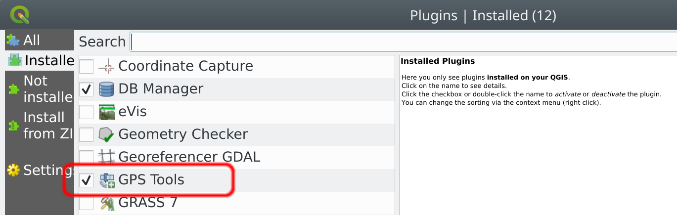 There are several ways to forward data from your phone and most of them are very well described in the QGIS manual page: https://docs.qgis.org/testing/en/docs/user_manual/working_with_gps/plugins_gps.html
What I’m going to describe here is mostly useful when your phone and your host machine running QGIS are on the same network (for example they are connected to the same WiFi access point) and it is based on the simple application GPS 2 NET
Once the application is installed and started on your phone, you need to know the IP address of the phone, on a linux box you can simply run a port scanner and it will find all devices connected to the port 6000 (the default port used by GPS 2 NET):
There are several ways to forward data from your phone and most of them are very well described in the QGIS manual page: https://docs.qgis.org/testing/en/docs/user_manual/working_with_gps/plugins_gps.html
What I’m going to describe here is mostly useful when your phone and your host machine running QGIS are on the same network (for example they are connected to the same WiFi access point) and it is based on the simple application GPS 2 NET
Once the application is installed and started on your phone, you need to know the IP address of the phone, on a linux box you can simply run a port scanner and it will find all devices connected to the port 6000 (the default port used by GPS 2 NET):
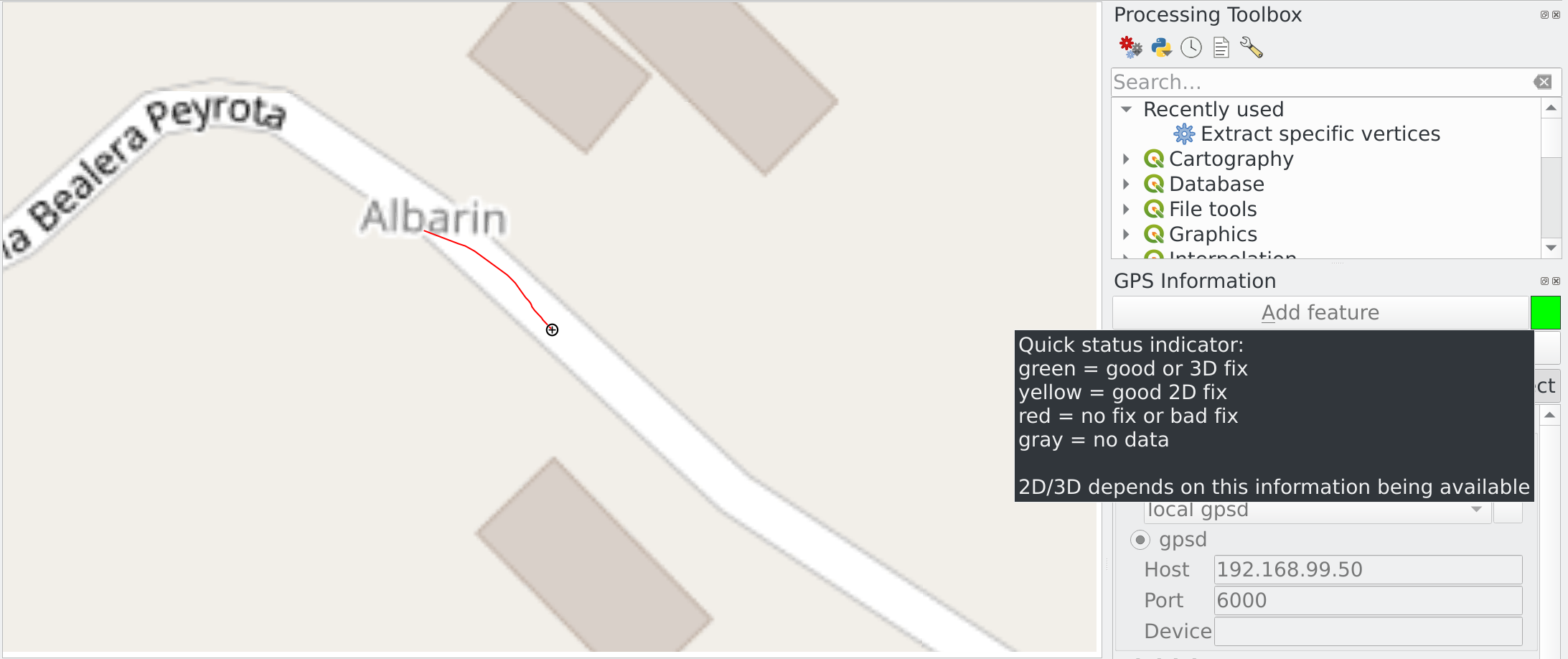
# Assuming your subnet is 192.168.9

nmap -p 6000 192.168.1.*

Nmap scan report for android-8899989888d02271.homenet.telecomitalia.it (192.168.99.50)
Host is up (0.0093s latency).
PORT STATE SERVICE
6000/tcp open X11
Now, in QGIS you can open the plugin dialog through Vector -> GPS -> GPS Tools and enter the IP address and port of your GPS device:
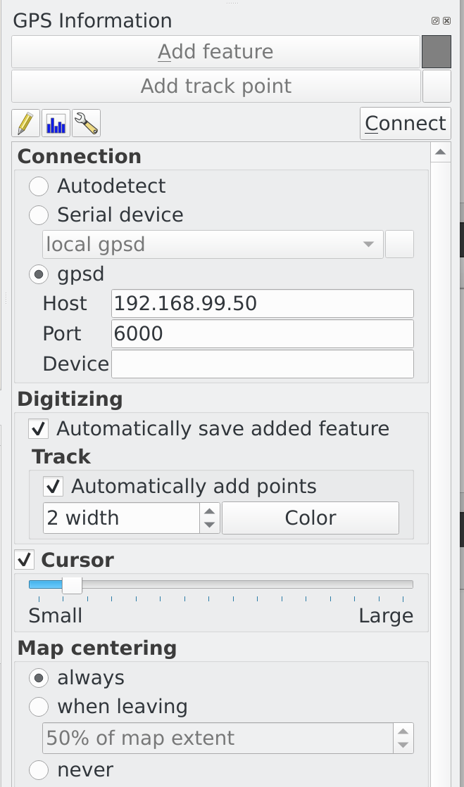 Click on Connect button on the top right corner (mouse over the gray square for GPS status information)
Start digitizing!
Click on Connect button on the top right corner (mouse over the gray square for GPS status information)
Start digitizing!